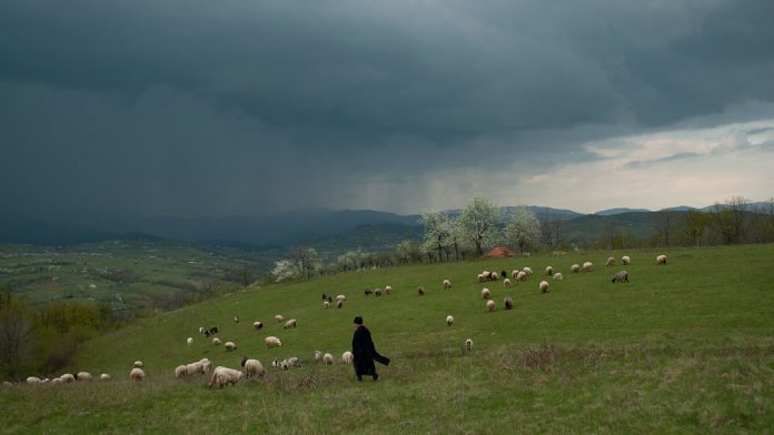
The Via Transilvanica hiking trail runs from the country’s northern border all the way down to the Danube in the south.
Proud sash
The trail which looks like a proud diagonal sash slung over the Romanian map began three years ago and will be completed this year. Now the project has attracted attention outside Romania.
Time Out promoted the initiative on Tuesday which is bound to generate interest among foreign tourists seeking a ‘back-to-nature’ experience along the unspoiled swathes of Romania.
The 1,400-kilometers route passes Transylvanian castles and monasteries. It goes though mountain ranges, forests and historic cities.

15th century monastery
It starts in the historic town of Putna, site of an iconic15th century monastery, not from the border with Ukraine.
It ends in Drobeta-Turnu Severin, a southwest Danube port which lies on the border with Serbia.
The route is lined with way-markers that are about one kilometer apart and have an orange ‘T’ written on them.
Via Transilvanica
Via Transilvanica aims to encourage people “to get to know [Romania], one step at a time.” There are guides in Romanian, German and English.
The organization which created the path, Tășuleasa Social, a conservation non-governmental organization, has published guides to local people, history, traditions, wildlife, attractions, restaurants and hotels.
The Via Transilvanica is split into seven sections, so hikers can decide which part they want to trek on as well as promoting sustainable tourism. Each segment is between 115km and 278km long.
They are: Bucovina, Highland, Terra-Siculorum, Terra-Saxonum, Terra Dacica, Terra-Banatica and Terra Romana.
Treasures
„Via Transilvanica’s infrastructure provides access to drinkable water, accommodation and dining, as well as historical and cultural information about different geographical areas,” the site says.
Some of the treasures hidden on the Via’s Transylvanian hiking trails are not reachable by car. Travelers need to walk or ride a bike.
The Via has also been made with minimal environmental impact through use of existing footpaths, bike paths and roads.
Guide
So far, a 1,000km stretch of the Via Transilvanica route has been completed. The remaining 400km due stretch will be ready at the end of the year.
The Via Transilvanica guide is available either on its website or smartphone app. You can download it here.


